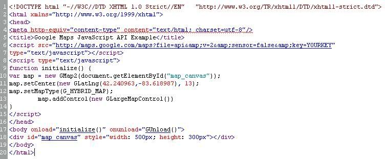
Once that was done I then had to create the javascript that was necessary in order to grab the coordinates and return the map to my div tag. I wanted a couple different options for users; to be able to zoom in and out of the map and to place a marker at the coordinates given to the api. I found that this was not too difficult to do.
function setupMap(lat, long) {
if (GBrowserIsCompatible()) {
var center = new GLatLng(lat, long);
map = new GMap2(document.getElementById("googlemap"));
map.addControl(new GLargeMapControl());
map.setCenter(center, 09);
var marker = new GMarker(center, {draggable: true});
GEvent.addListener(marker, "dragstart", function() {
map.closeInfoWindow();
});
GEvent.addListener(marker, "dragend", function() {
marker.openInfoWindowHtml("Just bouncing along...");
});
map.addOverlay(marker);
}
}
You'll notice that I added a couple variables to pass to the program that were filled in another function based on my user input from the web page.
function getCoord(itemName){
var lat;
var long;
if (itemName == 'snowbird')
{
lat = '40.5768173605448';
long = '-111.651607579098';
}
if (itemName == 'alta')
{
lat = '40.58889';
long = '-111.63722';
}
if (itemName == 'solitude')
{
lat = '40.621159';
long = '-111.592499';
}
if (itemName == 'vail')
{
lat = '39.3944';
long = '-106.2150';
}
if (itemName == 'taos')
{
lat = '36.39';
long = '-105.58';
}
if (itemName == 'kill')
{
lat = '43.6775';
long = '-72.7803';
}
setupMap(lat, long);
}
At the bottom of this function is where I call the setupMap() function. It then returns the following data/picture: